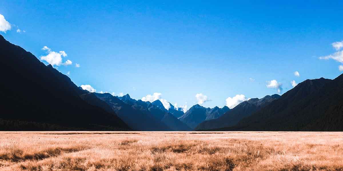
There are plenty of walks near Te Anau. It is the gateway to a wilderness area globally famed for tramping and glorious scenery. The town of Te Anau sits on the eastern shore of Lake Te Anau, the second largest lake in New Zealand, second only to Lake Taupo in the North Island. On the western shore of Lake Te Anau lies the Fiordland National Park, by far the largest of New Zealand’s 14 National Parks and a major part of the Te Wahipounamu (The place of Greenstone) world heritage site.
Plan your adventure walk near Te Anau:
Situated near the heart of Te Anau, Alpine View Motel is the perfect base from which to plan your adventures into the surrounding areas. Many of our visitors come to see the famous Milford & Doubtful Sounds but also to undertake the Kepler, Milford & Routeburn Tracks. Visitors to the area also partake in activities such as kayaking, cycling, jet boat riding, fishing and hunting, farm tours and seaplane/helicopter sightseeing. Readers of New Zealand’s Wilderness magazine voted Te Anau as the best location in New Zealand for hiking in 2014.
The Kepler and Murchison mountain ranges can be seen from Te Anau. Many species of bird life are present within the Fiordland National Park, including the endangered Takahe. For those more leisurely inclined, the Te Anau Bird Sanctuary is a mere 5 minutes from the Alpine View Motel. The bird sanctuary care for a pair of Takahe. If you are lucky, you may also have a close encounter with the Kaka; kereru (New Zealand wood pigeon); tūī; ruru (morepork), and paradise shelducks.
Without further ado, Alpine View Motel presents our top nature walks in Te Anau for budding adventurers to explore. We’ve chosen a range of lengths and skill levels, to use as a starting point for your exploration of the Te Anau and Milford area.
OUR TOP 5 BEST NATURE WALKS NEAR TE ANAU:
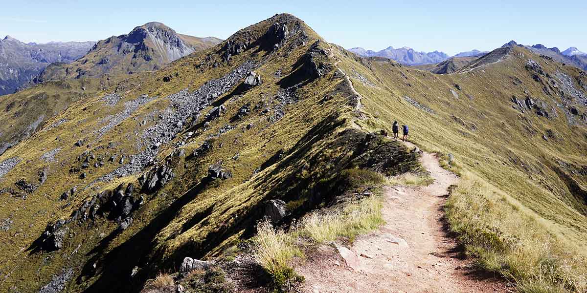
1. The Kepler Track
Māori legend tells of Rākaihautū, the fabled leader of the Māori migration canoe Uruao, who named the lakes while exploring the South Island. During a heavy rain, he found a large and picturesque lake which he named Te Ana Au, meaning cave of rain. Just south of Te Anau, he found another lake which he named Roto Ua, the lake where rain is constant. Today we know this lake as Lake Manapouri. The Kepler is situated between these two lakes.
The Kepler Track is a 60 km circular track. It passes through many different landscapes within the Fiordland National Park. You will pass over rocky mountain ridges; through tall old-growth forests; steep gorges; rare wetlands, and fast-flowing rivers. The Kepler track is one of the New Zealand Great Walks run by the Department of Conservation (DOC).
You can choose to do just a part of this track as a day walk (we recommend the Te Anau control gates to Luxmore hut or summit- a long but worthwhile day hike), or book your huts ahead of time to walk the full 3-4 day route.
Difficulty: Intermediate
Duration: 3-4 days
For more info and restrictions, visit the DOC website: Kepler Track
2. The Milford Track
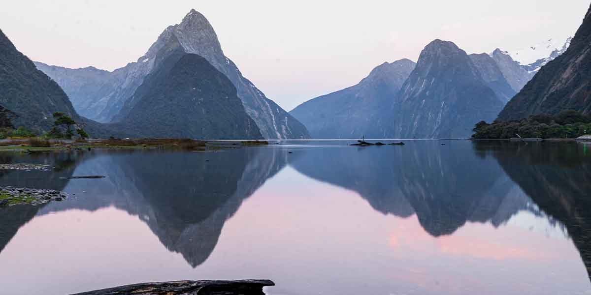
Another walk near Te Anau is the Milford Track. The Milford Track is a tramping route that takes the walker through mountains and temperate rain forest within the Fiordland National Park. This 53.5 km tramp begins at Glade Wharf at the head of Lake Te Anau and finishes-up in Milford Sound. The Milford Track experience has been called ‘the finest walk in the world’ – where you traverse valleys carved by glaciers, through ancient rainforests and past cascading waterfalls. Do make sure to bring insect repellent with you as Sandfly Point has a well-earned name.
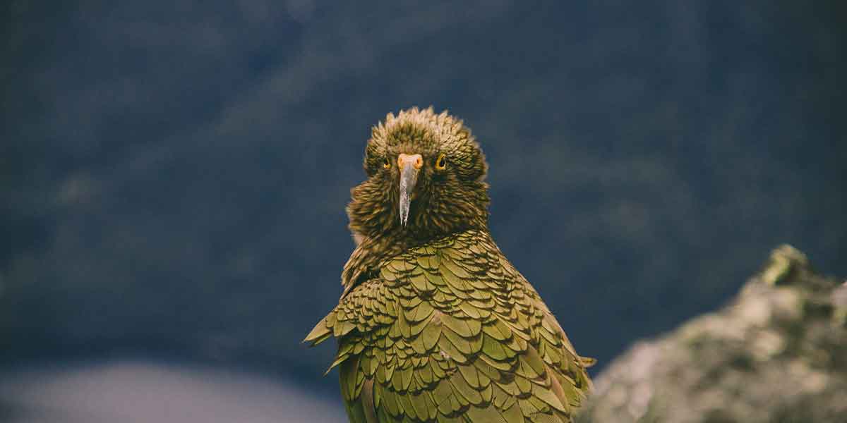
On this track you will likely encounter some of the Fiordland’s more rare birdlife if you’re lucky, like the cheeky Kea!
Difficulty: Intermediate
Duration: 4 Days
For more info and restrictions, visit the DOC website: Milford Track
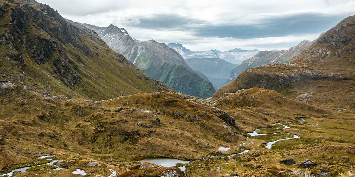
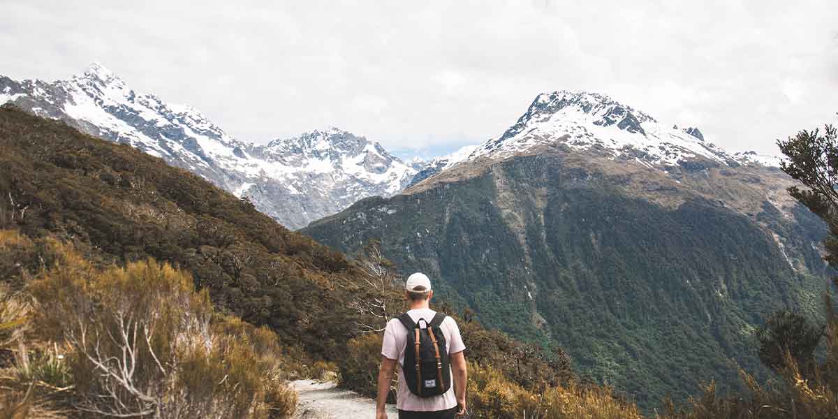
3. The Routeburn Track
The world-renowned Routeburn Track is a 32 km tramping track that can be walked in either direction. The track either starts at the northern end of Lake Wakatipu, near Queenstown or on the Te Anau side, at the Divide, several kilometres from the Homer Tunnel on the Milford Sound road.
This track gets much less rainfall than Milford Sound, so the scenery is quite different, especially in the forest on the eastern side of the saddle. Due to the reduced amount of rainfall the forest is predominantly New Zealand red beech and mountain beech, with fewer ferns. The track takes you up along beautiful high ridges around Harris Saddle, with spectacular views in all directions.
Difficulty: Intermediate
Duration: 2-4 Days
For more info and restrictions, visit the DOC website: Routeburn Track
4. Gertrude Saddle Route Trail
Gertrude Saddle Route Trail is a 7 km, moderately trafficked out and back trail located near Te Anau. It is rated as difficult. Not for the faint of heart, this is an extreme and challenging hike, however the rewards are well worth the effort as you have pristine views over Milford Sound & The Homer Tunnel as well as a beautiful waterfall en-route.
As with most routes around Milford Sound, be on the lookout for rare birdlife. Many walks near Te Anau will give the lucky hiker a chance to encounter birdlife unlike any other!
Difficulty: For experienced hikers
Duration: 1 Day (4-6 hours)
For more info and restrictions, visit the DOC website: Gertrude Saddle
5. Key Summit Track
Enjoy wonderful, panoramic views over the mountains and alpine lakes of the National Park on this half-day walk. Just off the Milford Road on the Routeburn Track. This track has a family friendly reputation and is great for beginners to hiking. This alpine nature walk passes through a changing plethora of native vegetation, from beech forest to sub-alpine shrublands; from alpine tarns to bogs. The native birdlife is teaming with species like tomtits, robins, New Zealand pigeons and bellbirds.
During the last ice age about 15,000 years ago, a huge glacier ripped its way down the Hollyford Valley creating the U-shaped valley we see today. Ice branches also split off this vast glacier to create the Eglinton and Greenstone Valleys. This can be easily seen from the top of Key Summit, making for some fascinating viewing.
Difficulty: Easy – Intermediate
Duration: 1 Day (3 hours)
For more info and restrictions, visit the DOC website: Key Summit